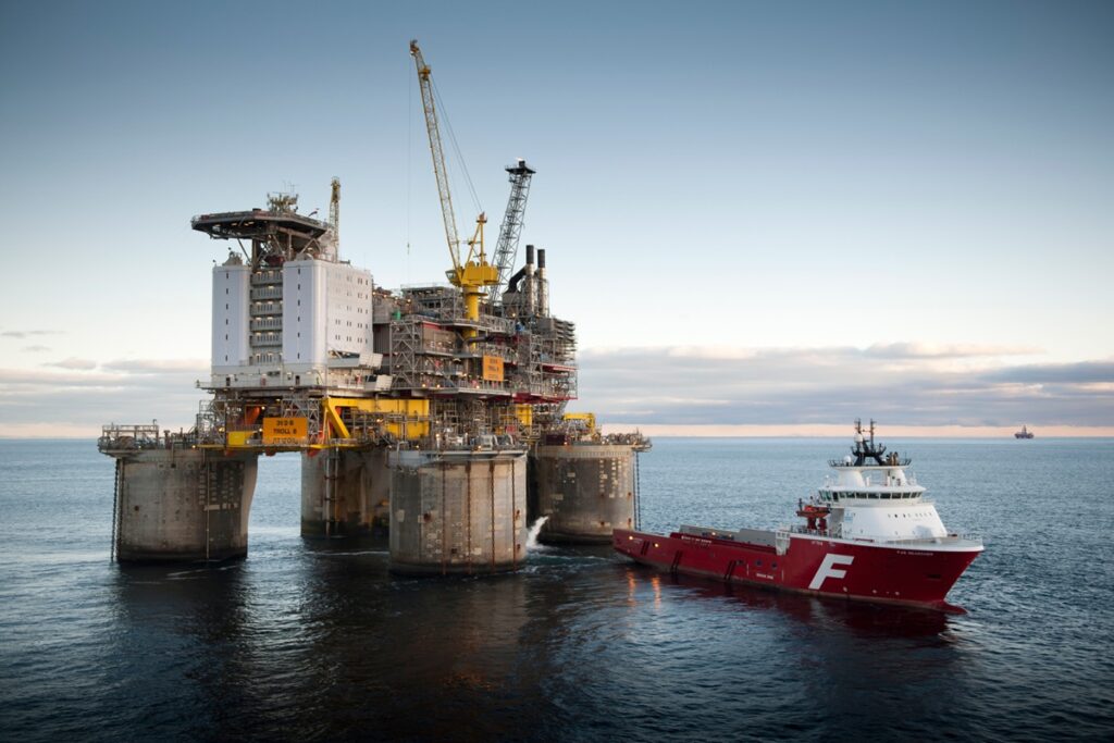
For more than 20 years, repeated gravity and subsidence surveys have helped Equinor monitor subtle changes at the Troll field. These measurements provide valuable insight into reservoir behaviour, water influx and the effects of production, but much of the historical information was scattered across reports, spreadsheets and local data files.
At the Dig X Subsurface 2026 conference in Lillestrøm, Varun Sharman, Associate Product Amplifier at Equinor, will present how the company transformed this fragmented archive into a governed and traceable dataset built on OSDU.
OSDU (Open Subsurface Data Universe) is an open industry standard designed to make subsurface data easier to find, share and use across applications and disciplines. By breaking down traditional data silos, it helps companies connect information that would otherwise remain isolated in different systems and formats.
The project covers seven monitoring campaigns acquired between 2002 and 2023. The value of the dataset lies not in any single survey, but in comparing measurements collected over time. Yet much of the supporting information existed only in contractor reports and delivery files, making it difficult to reconstruct the history behind published results.
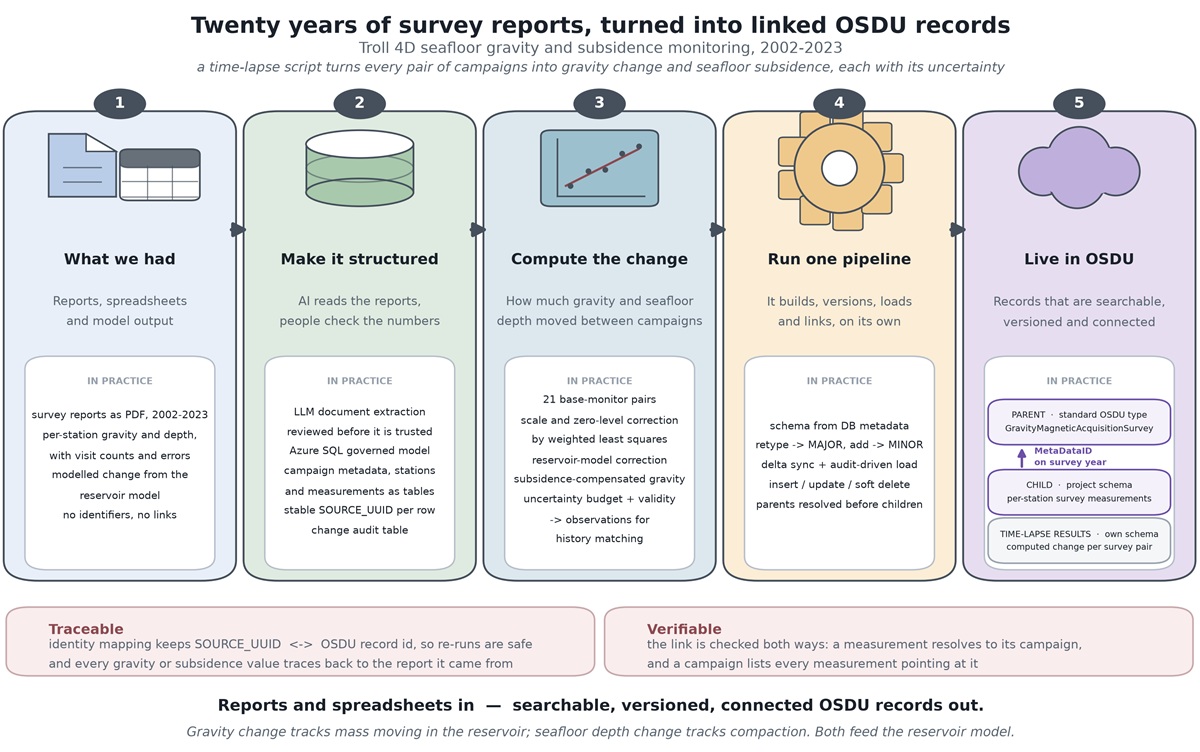
To address the challenge, Equinor developed a workflow that combines large language models with automated data processing. AI-assisted document analysis extracts information from historical survey reports, while measurements from spreadsheets are linked to the corresponding survey campaigns.
According to the authors, the main challenge was not reading information from reports, but ensuring it could be reliably converted into structured enterprise data. Important details were often spread across text, tables, figures and appendices rather than presented in a format ready for ingestion.
The result is a connected dataset where measurements, metadata and derived products can be traced back to their original sources. Relationships between surveys, observations and processed results are preserved, making it easier to understand how data products were created and to repeat analyses when new information becomes available.
Today, two decades of Troll monitoring data are searchable, versioned and connected through OSDU. The work supports reservoir monitoring, reservoir-model updates, production optimisation and future reinterpretation efforts, while also offering a reusable blueprint for liberating other legacy subsurface datasets.
Join us in Lillestrøm on December 2-3 to learn how Equinor is combining AI, data governance and OSDU to unlock value from historical subsurface data. The program can be found on the conference website.