
Seismic foundation models promise to transform subsurface interpretation, but training the model is only part of the story. The real challenge begins afterwards. How do you convert AI-generated features into tools that exploration teams can use in their daily work?
At the Dig X Subsurface 2026 conference in Lillestrøm in December, Yann Van Crombrugge and Aina Juell Bugge, Senior Data Scientists at Aker BP, will present the company’s efforts to operationalize the recently released NCS seismic foundation model and turn it into a reusable exploration data product.
The NCS model, developed by Norwegian Computing Center in collaboration with Aker BP and Equinor, was trained on a large share of the publicly available seismic data in the DISKOS database and released to the wider geoscience community in early 2026.
The model has learned to recognize geological patterns, structures, and textures directly from seismic data using large-scale self-supervised learning.
geo365.no: Norges nye seismikkekspert
Aker BP’s focus is now on putting those pretrained representations to work on full-scale proprietary seismic volumes.
To achieve this, the company has developed a production-oriented workflow that enables repeatable extraction of foundation model features from large seismic datasets. Rather than running the computationally intensive model for every individual task, the features can be generated once and subsequently reused in multiple interpretation workflows.
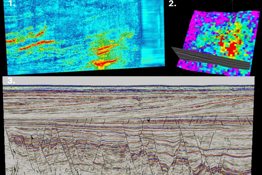
The presenters will demonstrate how these feature cubes can be used to identify similar geological features such as volcanic sills, locate areas with comparable structural characteristics, and generate fault cubes using lightweight machine-learning models.
While these examples target specific interpretation challenges, they are part of a broader ambition. By combining feature cubes from megamerge datasets covering the Norwegian Continental Shelf, Aker BP is working towards a «seismic search» capability that can identify analogous geological features, surfaces, and structures across vast areas.
Such a tool could make it easier for geoscientists to transfer insights between prospects, fields and basins, helping exploration teams locate relevant analogues and focus their efforts more efficiently.
Join us in Lillestrøm on December 2-3 to learn how Aker BP is transforming foundation model outputs into practical tools for seismic interpretation and exploration. The program can be found on the conference website.